
Klev Opp Angers
Sandebukta ved Bogen
-
Distances: 8,1 km
-
Surface: Terreng
-
Location: Sandebukta ved Bogen
-
Date:
30 Aug Estimated dateWe have not received an official date for this race.
Race description
All information on this page is based on open source data. We do our best to keep it updated but cannot guarantee that everything is correct. If you see any inaccuracies, contact us and we will correct it as soon as possible.
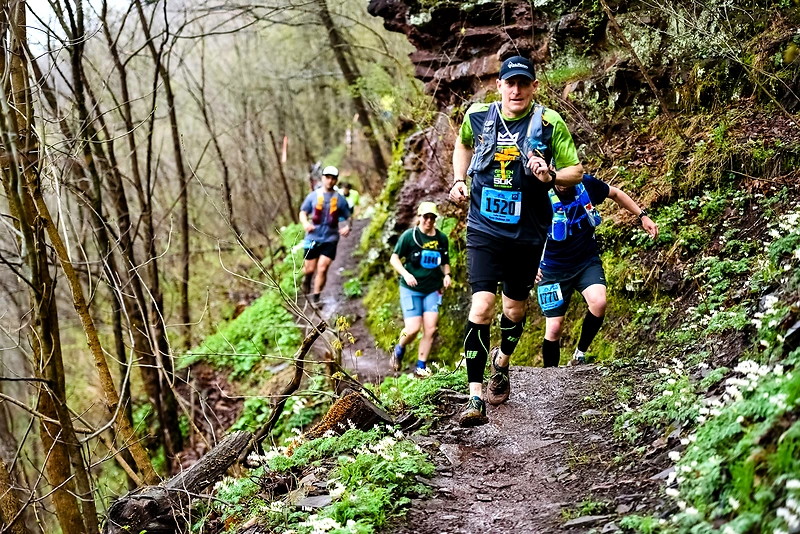
Klev Opp Angers starts from Sandebukta by Bogen and goes up to the plateau at Kleiverud. The name comes from the old name for Sandebukta, Sande Alpinklubb. The hike from Bogen to the top of Angers klev offers little to no view, but provides a historical experience of the old cart road. At the top, one can stroll to a viewpoint behind the antenna mast, where there is a fantastic view over the fjord and Løvøya.
Highlights
- At Bogen, there is a parking lot with space for quite a few cars.
- Although the trail offers little in terms of views along the way, the journey holds more historical value than a hiking experience.
- A large part of the route is on a trail with rough stones, so it is recommended to wear hiking shoes or sturdy running shoes.
Questions & Answers
Additional information
Detailed information
- Race name: Klev Opp Angers
- Location name: Sandebukta ved Bogen
- Distances: 8,1 km
- Organizer website: https://ut.no/turforslag/119538/kongeveien-angers-klev
- Surface / Race type Terreng