
Kvitfjell Langlaup
Kvitfjell
-
Distances: 13 km, 25 km
-
Surface: Terreng
-
Location: Kvitfjell
-
Date:
25 Jul Estimated dateWe have not received an official date for this race.
Race description
All information on this page is based on open source data. We do our best to keep it updated but cannot guarantee that everything is correct. If you see any inaccuracies, contact us and we will correct it as soon as possible.
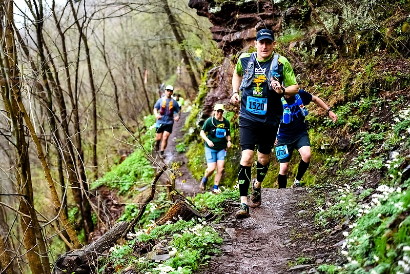
The long run is a 25 km race in varied terrain, presenting an extra challenge for those who didn't get enough lactic acid from Friday's uphill race. The course mainly follows marked trails in the mountain area around Kvitfjell, and the race takes place both above and below the tree line, with the highest point at about 1100 meters above sea level. Even though it is mid-summer, it can be wise to be prepared for weather changes.
Highlights
- Kvitfjell Running Festival has been delivering legendary running experiences since 2021, featuring Northern Europe's steepest ski slope and prime trails in the heart of Norwegian nature.
- The course is approximately 25 kilometers long, with 19 kilometers on trails and 6.5 kilometers on road.
- In 2024, the festival will expand with yet another race, namely the Stuttlaupet.
Questions & Answers
Additional information
Detailed information
- Race name: Kvitfjell Langlaup
- Location name: Kvitfjell
- Distances: 13 km, 25 km
- Organizer website: https://lauparfestival.no/
- Surface / Race type Terreng