

Østmarka Trail Challenge
Enebakk
-
Distances: 37 km
-
Surface: Terreng
-
Location: Enebakk
-
Date:
22 Aug
Race description
All information on this page is based on open source data. We do our best to keep it updated but cannot guarantee that everything is correct. If you see any inaccuracies, contact us and we will correct it as soon as possible.
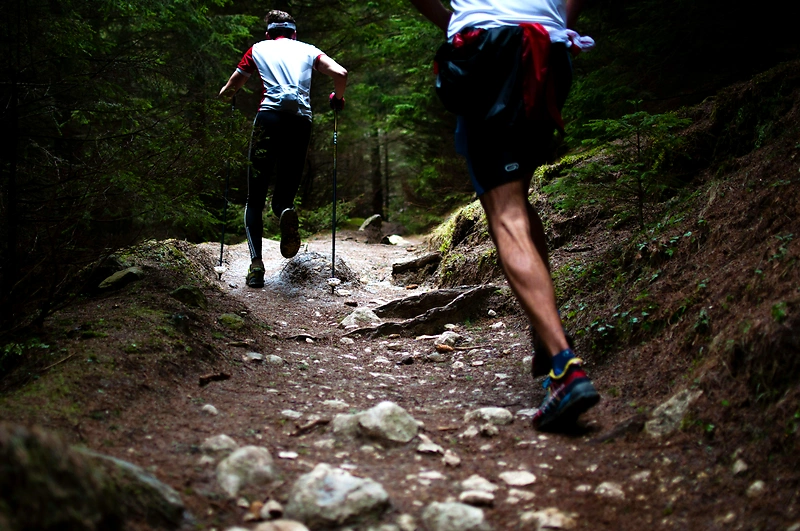
Østmarka Trail Challenge – The Refugee Route is a tough trail race of about 37 km that follows blue-marked paths through Østmarka. The course follows a route that was used during World War II to help people escape the country, and runs between Enebakk/Øyeren and Skullerud in Oslo. This race is incredibly fun and challenging, providing participants with a unique experience in scenic surroundings.
Highlights
- The course follows a route that was used during World War II to smuggle people out of the country.
- Østmarka Trail Challenge organizes tough and challenging trail races in Østmarka.
- Participants will have the opportunity to try to claim the title of "Queen of Bruises."
Questions & Answers
Additional information
Detailed information
- Race name: Østmarka Trail Challenge
- Location name: Enebakk
- Distances: 37 km
- Organizer website: https://www.ostmarkatrail.no/flyktningeruta/
- Surface / Race type Terreng